The never-ending land rows in Acholi sub-region between Gulu and Amuru districts will affect national census, should government not urgently address the crisis.
The land in question is found in Paralo sub county and claimed by locals in both districts.
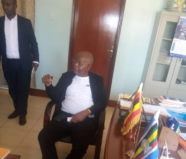
This was established on Friday as Dr Chris Mukiza the Executive Director Uganda Bureau of Statistics (Ubos) supervised the ongoing mapping exercise in Northern Uganda.
Ubos is mandated to carry out census every after 10 years.
“Sir, this land is claimed by Gulu and Amuru and land issues in Acholi districts are terrible, people even lose life if not handled properly. Therefore, we ask government to urgently solve the issue before census is conducted,” Lugu Samuel, the Gulu CAO told Dr Mukiza
The CAO added “If Census time comes and the problem is not solved I can assure you chaos will occur because Gulu people will not be allowed to be counted in Amuru and vice versa”
In his response, Mukiza assured the Gulu district administration that he will take up the matter to Local Government Ministry which is responsible for border demarcation.
“I will ask the leaders in both Gulu and Amuru to allow UBOS team do the mapping in the area as we wait for government to solve the issue,” he said.
Mukiza also visited Kiryandongo and Oyam districts to assess the progress of mapping exercise.
In Kiryandongo, the CAO Martin Jacan Gwokto said mapping is almost complete.
“We have 323 villages and 42 parishes but you find one village having over 700 households and have only three listers to collect data and this would require them a lot of time,” he said.
He further stated that Kiryandongo has of many tribes which is also stalling the exercise. “We have over 72 tribes in one district and this makes it harder for listers to get information from the ground.”
Gwokto said most local people do not understand GPS and it takes them a lot time to explain what it means and this has also contributed to the delay of the mapping exercise. He also said facilitating the guides is still a problem.
In Oyam, the Chief Administrative Officer (CAO) Irene Chelenget said mapping is almost finished.
She added the listers have sent the data to the National Center.
However, the size of the villagers remains challenging due to limited manpower.
“We have villages that have over 4200 households yet the number of listers are few and this takes them time to finish,” she said.
Because of limited resources, listers and guides move on foot and cover little distance which ends delaying the exercise.
Chelenget added that they still face the challenge of system upgrades where information goes directly on old system yet there is a new system. “Some new Sub counties and parishes were created and were not put on new system and all information from new areas go to old system.”
Dr Mukiza in his response said the financial issues will be handled to make sure the mapping is completed on time.
“Government released little money for this exercise and that is the reason why few people were employed but I can assure you more money is soon coming and all these challenges will be handled.”
“According to the standards, each village should not exceed 150 households but we are also solving that problem,” he said.
He further says that digital mapping will also help government to bring services to the people.
“The GPS coordinates will help the government to know the distance between clean water source, hospital, police stations to the community.”
